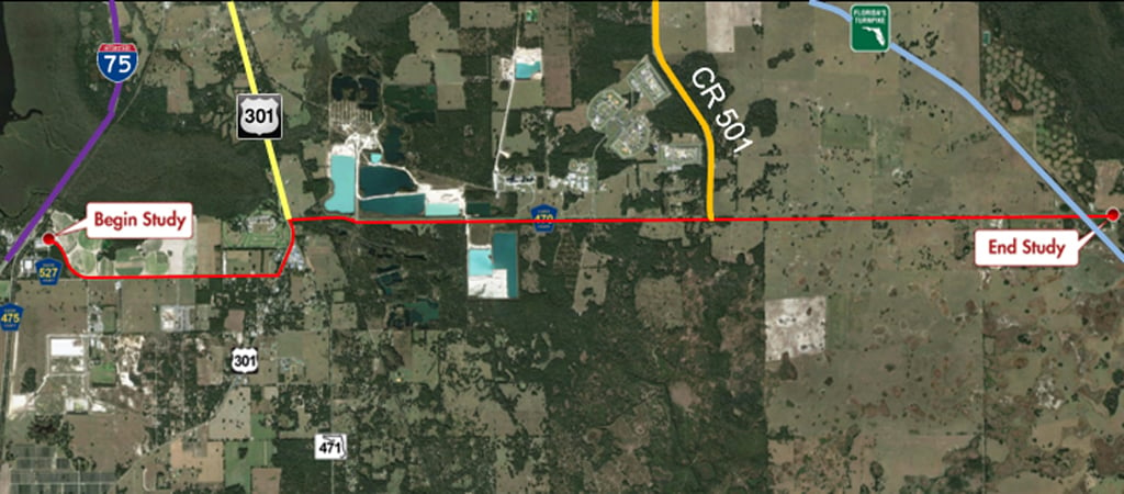
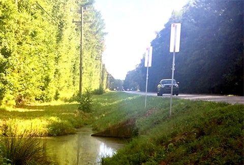
VHB completed a regionally significant NEPA study for County Road (CR) 470 to widen its existing two-lane roadway to four lanes to improve capacity, enhance safety, and provide long-term mobility needs. The study corridor extended approximately 10.6 miles from CR 527 to Florida’s Turnpike. As an integral connection between two strategic intermodal system (SIS) facilities, our conceptual design accomplished the client’s vision for CR 470: to transition to a state roadway while accommodating future land use changes, including substantial planned development of regional impact (DRI) activity.
VHB led the study, which involved multi-agency coordination with Florida Department of Transportation (FDOT) District 5, Florida’s Turnpike Enterprise (FTE), Lake-Sumter Metropolitan Planning Organization (MPO), and other agency partners. VHB performed extensive transportation planning and analysis to determine the appropriate location and geometry of the roadway and its interface with the surrounding network. The study included extensive context-sensitive design to address varying corridor needs through urban, suburban, and rural areas. Critical safety improvements involved the realignment of CR 470 (east and west legs) at US 301 within the rural community of Sumterville and the realignment of SR 471 to CR 528. A proposed access management plan was also developed to address the transition to a divided arterial facility.
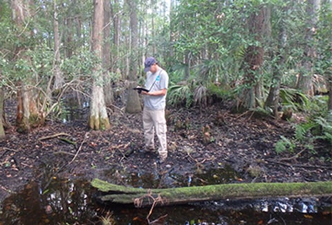
The project involved extensive stakeholder coordination to minimize environmental and community impacts to property owners, wetlands, a potential archaeological site, Sumter Electric Cooperative (SECO) transmission lines and facilities, mining facilities, and the Shady Brook Golf and RV Resort.

