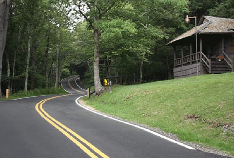
Managed by the National Park Service (NPS), the Chesapeake and Ohio (C&O) Canal National Historical Park features a 184.5-mile trail network connecting Georgetown in Washington, DC, with Cumberland, Maryland. A historic 0.9-mile section of the towpath located between McMahons Mill (mile 88) and Lock 42 (mile 89) experienced flooding, weakening canal walls, washed-out sections, and unstable structures. To solve these challenges, VHB partnered with the NPS for the reconstruction and stabilization of the historic towpath and surrounding stone wall.
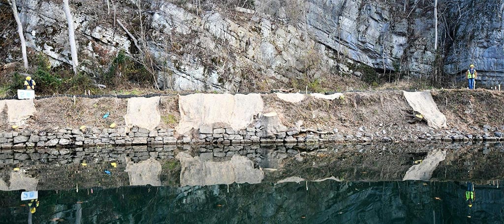
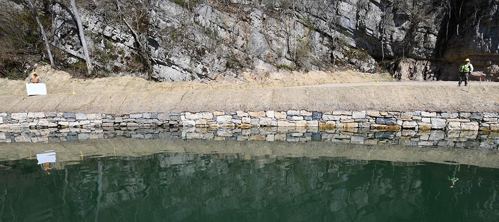
VHB designed the width and alignment of the towpath through this challenging section of trail. In partnership with structural engineer Simpson Gumpertz & Heger, the team determined the elevation of the reconstructed walls and revetments to reduce minor flooding closures and provide a wider and safer trail surface for users. The project rehabilitated the historic canal, upgraded flood protection, and improved emergency access along the river.