The City of Orlando has rapidly expanded with urban and suburban development since its last wetlands study was completed in 1992. The City recently selected VHB to update their development standards to strengthen wetland protection and management within their 111-square-mile municipal boundary. VHB evaluated the wetlands and developed a new, innovative GIS and data management dashboard so City employees can collect field survey data and make real-time, qualitative wetlands assessments. The technology will help speed-up development decisions and protect natural resources such as wetland and habitats for threatened and endangered species.
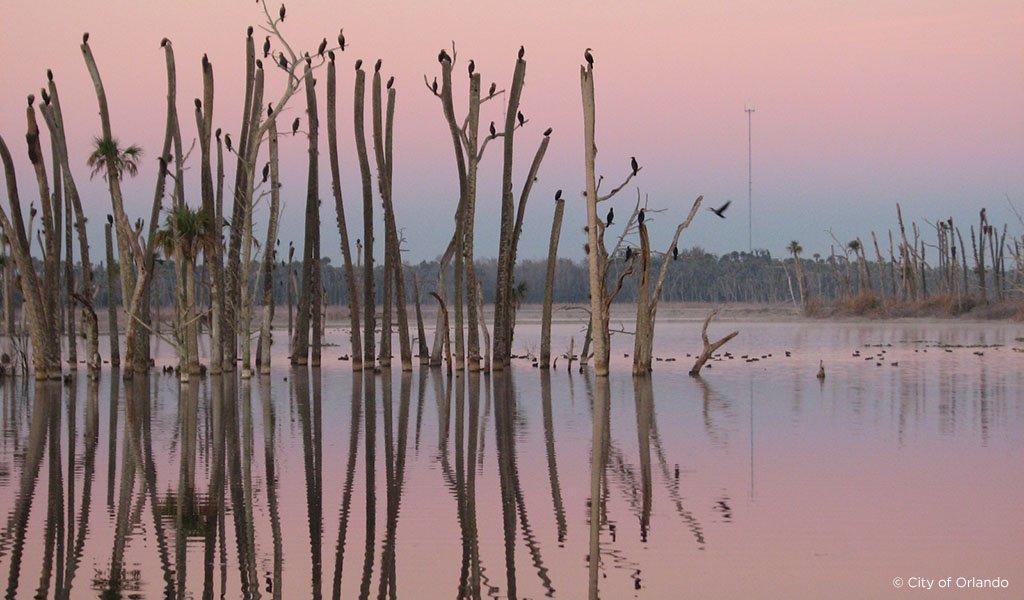
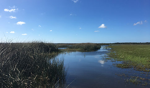
Wetlands can be defined as the transitional zones between chronically flooded deepwater settings and well-drained uplands, where the water table is generally at or near the surface or the land is covered by shallow water. Wetlands provide habitats for aquatic and terrestrial plant and animal species, but are also important for flood protection, improving water quality, preventing erosion, and carbon sequestration. There are several varieties of wetlands, each defined by its hydrology, water chemistry, soils, and plant species.
The first part of the City of Orlando project involved a Wetlands and Open Space Assessment. VHB planners, environmental, and geomatics teams collaborated to assess a representative sample of the City’s wetlands and developed a customized, accessible ArcGIS dashboard that uses scoring methodology to classify wetlands ranges and distinguish different levels of protection.
VHB also worked with the City to review the Growth Management Plan and existing Land Development regulations, and developed a draft Land Development Code with a focus on wetlands and open space. Once the new policies, wetland assessment and ArcGIS dashboard tool were developed, City staff and VHB held internal stakeholder meetings with City employees and conducted public and stakeholder meetings to educate about mechanisms of wetlands protection and gather additional insight from residents, the development community, regulatory agencies, and non-governmental organizations.
“The new ArcGIS dashboard and updated wetlands policies result in informed, efficient decisions for both major and minor development and infrastructure impacts that involve affected wetlands, and protect the City’s natural resources,” said Chuck Smith, PWS, VHB Orlando Director of Environmental Services. “The City was pleased and let us know that we exceeded their expectations for the study, providing them with critical updates to the status of their wetlands and guidance for monitoring their health in the future.”
The City elevates sustainability as a priority with its Orlando Future-Ready Plan and the Green Works program, vowing to transform Orlando into a model of an environmentally friendly, economically and socially vibrant community. The study is part of ongoing efforts to strengthen wetlands protections and enhance sustainability throughout the City.
Learn more about how VHB wetlands scientists help clients navigate regulatory changes and provide stewardship of the environment.