South Carolina Ports is a pivotal player in global trade and as the 8th largest U.S. container port, serves as a vital gateway for commerce on the Eastern Seaboard of the United States. Headquartered in Charleston, SC Ports operates some of the most efficient and advanced global port facilities in the U.S., including the Port of Charleston Wando Welch Terminal, and the state-of-the-art Hugh K. Leatherman Terminal, which is the country’s first new container terminal since 2009.
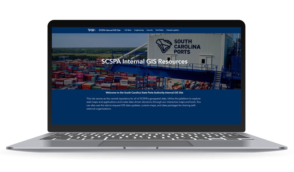
When SC Ports wanted to elevate asset and data management solutions across their facilities, the organization asked VHB to help. We worked with them to prioritize data development, database design, and mobile and web applications needed by their stakeholders. VHB developed a custom geographic information system (GIS) Hub site by leveraging Esri solutions including ArcGIS Online, Hub, Experience Builder, Dashboards, Survey123 and Field Maps.

The new Hub site helps SC Ports elevate a variety of business process, including making data-informed decisions and accessing an as-built plan document management system to query and access plans on desktop and mobile devices, allowing team members to view critical information while in the field.

“Utilizing Esri’s commercial off the shelf (COTS) solutions technology, we enabled our team to leverage a variety of solutions for SC Ports’ needs,” said Kristina Sargent, VHB Project Technical Advisor and New England GIS Lead. “SC Ports employees were able to use these innovative technologies to improve the efficiencies and management of their day-to-day workflows using GIS.”
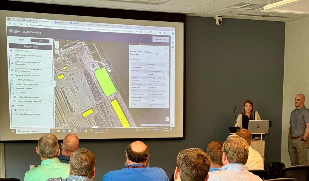
SC Ports launched the system-wide GIS solutions and Hub site this fall to employees with on-site training by VHB. SC Ports said that the collaboration improved operational efficiency and provided a robust framework for future geospatial projects.
Bob Hawks, GISP, SC Ports GIS Manager, said that VHB’s contributions to GIS at the port have been very well-received.
“They have taken the helm to create multiple applications that are in production and currently being used,” said Bob. “Their assistance has been invaluable in ensuring that we continue to advance the state of GIS here at SC Ports.”
The applications VHB developed for SC Ports encapsulate our client-focused approach to solving problems and providing data management solutions through GIS.
“We helped them translate diverse datasets into understandable and actionable information, giving more employees access to data that can benefit the whole organization,” said Steve Osiecki, GISP, Project Manager and Southeast GIS Lead.
Learn more about how technology-enabled consulting is at the forefront of VHB’s approach to solving clients’ most complex challenges.


