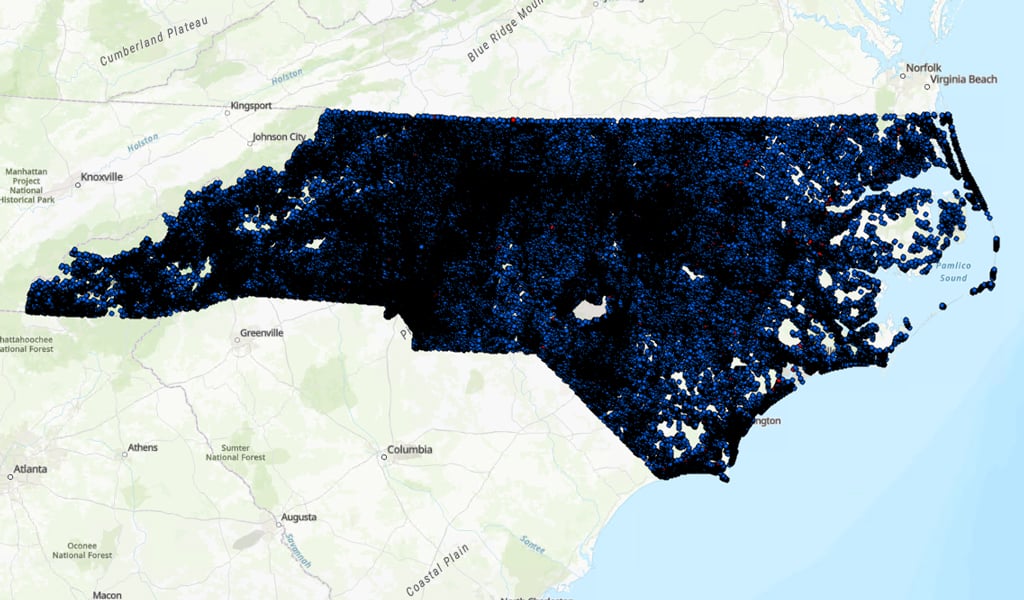
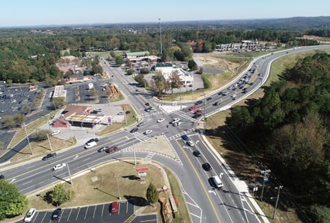
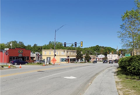
The Fixing America’s Surface Transportation Act (FAST Act) legislation, and subsequent federal transportation bills, require states to collect Model Inventory of Roadway Elements (MIRE) Fundamental Data Elements (FDEs) on all public roads by 2026, to promote and support data-driven safety analysis (DDSA). The North Carolina Department of Transportation’s (NCDOT) Safety and Mobility Unit needed to be in compliance and enhance its analytical capabilities, turning to VHB to create an inventory of intersections. This inventory would provide a spatial representation of all intersections within North Carolina, along with attributes necessary to support compliance reporting and safety analysis across the state.
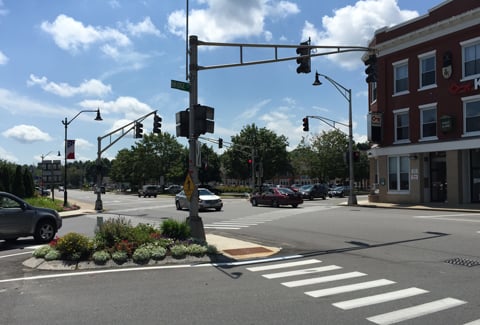
VHB utilized open-source Python coding and GIS tools to make a basemap of intersections. However, NCDOT needed additional details, such as information about turn lanes and traffic control, to make the inventory more effective for safety analysis. Partnering with an aerial imagery firm, VHB was able to extract the location and type of pavement markings using the You Only Look Once (YOLO) algorithm as part of an FHWA-funded pilot effort in three municipalities. With these data, VHB applied the same coding and tools to identify turn lanes, find “missing” approach legs, infer more accurate traffic control, and QA/QC assumed values in the intersection inventory database. The extracted pavement marking data were also used to identify new intersections, particularly midblock pedestrian crossings, which are often missed in regular road inventories.