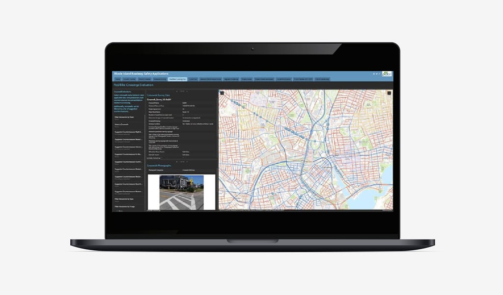
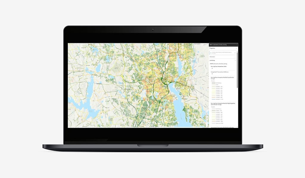
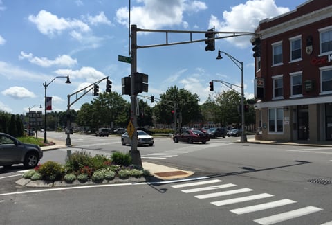
Since 2019, VHB has been instrumental in building out the Rhode Island Department of Transportation’s (RIDOT) systemic safety analysis as part of our on-call contract to help facilitate the Department’s Highway Safety Improvement Program (HSIP). We helped RIDOT develop the Rhode Island Roadway Safety Application, a proactive approach to address safety that uses ArcGIS applications and technology to conduct risk-based analyses to efficiently screen and prioritize locations for safety improvements.
VHB’s use of ArcGIS tools helped us to carefully analyze curves, pedestrian corridors, and intersections, integrating historical crash data with roadway and traffic statistics from RIDOT. This analysis includes a comprehensive scoring system that generates a “ranked” list of locations based on risk, assisting RIDOT in strategically prioritizing safety improvements in the Statewide Transportation Improvement Program (STIP). Through this collaboration, VHB has empowered RIDOT to make informed decisions that benefit the communities of Rhode Island by improving roadway safety and reducing the likelihood of accidents.