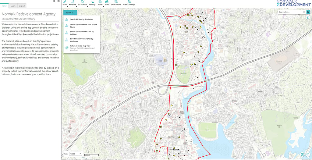
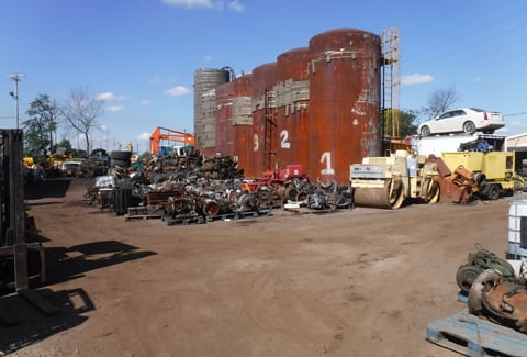
The innovative Norwalk Brownfields Inventory and Dashboard project builds on the success of a pioneering 2007 citywide brownfields inventory developed by VHB for the Norwalk Redevelopment Agency (RDA) and presented by the U.S. Environmental Protection Agency as a national standard. With a grant from Connecticut’s Brownfield Area-wide Revitalization Program, the RDA saw an opportunity to advance its brownfields work in step with the city’s Smart City and sustainability initiatives. Developing an inventory for a 1,000-acre area in Norwalk with approximately 15 confirmed and 85 potential brownfield sites, VHB created a GIS-based brownfields inventory dashboard that gives city staff, community members, and development partners a data-driven tool to filter priority sites and strategically allocate funding to revitalize them. To better inform the dashboard’s development, the VHB team surveyed the stakeholders at the National Brownfields Training Conference.
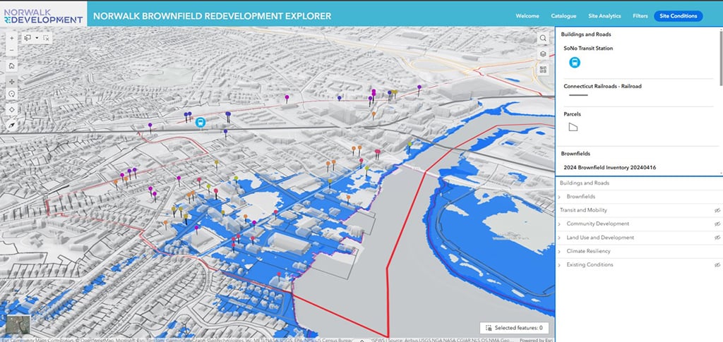
By seamlessly integrating the brownfields dashboard and the RDA’s powerful Urban Data Platform—scalable for use by multiple city departments—with Norwalk’s existing infrastructure, this project makes relevant environmental and economic data accessible citywide for more intelligent decision-making and transparency. These user-friendly tools empower the city to break down data silos, prioritize redevelopment opportunities, and improve resource management—while advancing Norwalk’s goal of becoming Connecticut’s “greenest city.”